Impact? Massive wave anomaly in the South Atlantic moving North

I have it from a good source that this was what we thought it was: ocean floor subsidence and outgassing.

Related to this perhaps

Good find! One question I have is that the heat maps of the waves seems quite enormous, and if there was a methane outgassing, in combination with lightning in the area I would think there would be explosions heard off the coast of Africa or reported by ships in the area. Doing a news search for noise or sound off Africa didn't turn up anything for me, but then again I don't have a journalism degree, plus the outgassing may not have been pure methane necessarily. It could have been mixed with other gases.

The below from MarineTraffic.com isn't a contemporaneous shot, but the area looks quite busy and there seems to be overlap between the blip and shipping lanes.
1713047964684.png

(This is a photo from an outgassing off the coast of Virginia in 2013. Just adding for visual context.)
1713048053236.png
 
You can if it's gas that gives a false wave height reading.
What kind of sensors are on these buoys? Trying to imagine how gas would give a false reading that big - aside from shooting them in the air for an extended amount of time. If it's anything like GPS, the only thing I've seen give those kind of anomalies was EM interference/spoofing (like at Skinwalker Ranch). Anyone familiar with systems like that?
 
What kind of sensors are on these buoys? Trying to imagine how gas would give a false reading that big - aside from shooting them in the air for an extended amount of time. If it's anything like GPS, the only thing I've seen give those kind of anomalies was EM interference/spoofing (like at Skinwalker Ranch). Anyone familiar with systems like that?

Preliminary research gives the following types of sensors which may be in use to measure waves or sea level:
-accelerometers to measure buoy movement caused by waves
-doppler radar on waves themselves
-radar altimeters
-meteorological sensors (wind speed, air pressure, temperature, humidity)
-water pressure sensors of the hydrostatic column to check sea level
-water pressure sensors measuring passing waves themselves
-GPS receiver

The bolded one in particular seems like a strong candidate for being heavily influenced by a massive outgassing event.
Cool. Good stuff! So technically, the app company is correct. There was a "modelling error" of some sort. It just had an anomalous source that their systems hadn't accounted for.
 
Cool. Good stuff! So technically, the app company is correct. There was a "modelling error" of some sort. It just had an anomalous source that their systems hadn't accounted for.

Yeah, pretty sure they're not calibrated for outgassing. Also, the size of the image on ventusky etc. is likely part of the projection. The actual area may have been a lot smaller.
 
Last edited:
There was also an alleged 'water swell' in Lake Erie during the eclipse.

Supposedly another strange event happened before the eclipse on Lake Erie, though I can't find the original footage, only this video:

Supposedly there was a weird "bump" on the lake, and later on it disappeared. Maybe it was some optical illusion due to the eclipse? Some light reflection distortion or something similar? Or it was something bona fide weird?

Here are the screenshots.

1.jpg


From another video:

3.jpg

4.jpg
 
On a more general note, not having looked too closely into it yet, I would say:

- If it is correct that the anomaly just showed up quickly, more or less in an instant, that many of the publically available, searchable and viewable satellite data sets cover much larger timeframe segments. In other words: They only seem to display timeframes as little as hours. In still other words: If that is the case, for publically viewable data, anomalies that happen quickly and more or less instantly, like for example, an impact of a smaller comet fragment, likely won't show up on those images, even though it happened! For example, I tried to see if I can find/see the mentioned anomaly on the 
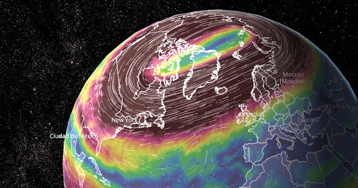
earth.nullschool website, at the reported time and place, without success. But, if you look closely, you can see that the minimal displaying time is 3 hours there. So, in other words: the image is updated (and/or captured/displayed) only every 3 hours. Which means that an event that happens quickly in a time span of less than 3 hours isn't likely to show up, even though it happened. The after effects might show up, though. That might also be the case for other data sets that are not recorded via satellite, such as buoy data. I also think it is likely that there are datasets that are not available to the public where they can record/see everything that happens on earth pretty much in real time. It would be interesting to see those data sets, but, most likely, we will never see them.

- Generally speaking, I don't think that we can discount either of the following possibilities: outgasing, magnetic type event, earthquake type event, volcano type event, comet type event or even a software type of issue on the computer end. Because, despite what modern mainstream science claims (either directly or by assumption) the behavior, creation and generation of waves, especially in large bodies of water such as the oceans is not that well understood. I'm of the opinion that, despite what they claim to know, that there are many mysteries and variabilities to the subject of waves and water that are not well understood at all.

- Therefore, I do think we really don't know much about how water in the oceans can behave and what type of triggers can lead to what type of results. In other words; I think it would also be totally possible, that a for example, a small comet like event, a magnetic type event or an outgasing type event can really produce a rather huge local event while the waves coming inland close by might not be affected by it that much. The behavior and reaction of water in general, and large bodies of water in oceans in particular, are still not well understood at all IMO.
 
Therefore, I do think we really don't know much about how water in the oceans can behave and what type of triggers can lead to what type of results. In other words; I think it would also be totally possible, that a for example, a small comet like event, a magnetic type event or an outgasing type event can really produce a rather huge local event while the waves coming inland close by might not be affected by it that much. The behavior and reaction of water in general, and large bodies of water in oceans in particular, are still not well understood at all IMO.
Yes, I've thought about it too.

Thousands of meters of water depth in various areas of the Atlantic and many thousands of kilometers of surface, so the dynamics of absorption and propagation can vary greatly.

My grandfather was a fisherman and they called "Old Sea" the waves that arrived suddenly, without any explanation of storms or wind to justify it.

In the cinema, some films also talk about the "lone wave" phenomenon, in which in a calm sea a single huge wave can sink a ship and no one knows where the wave comes from.
 
This guy claims same thing happened 6 weeks previously. Can someone check on ventusky?

Yes, the wave pattern appears on Feb 21 at 11 AM* and totally dissipates on Feb 26 at 8 AM*.
1713111188754.png
*As viewed from New York time.

After you click on the link below, change the date to Feb 21 and press 'Play' to see the wave pattern approaching Africa.
 
Yes, the wave pattern appears on Feb 21 at 11 AM* and totally dissipates on Feb 26 at 8 AM*.
View attachment 94391
*As viewed from New York time.

After you click on the link below, change the date to Feb 21 and press 'Play' to see the wave pattern approaching Africa.

That's pretty crazy. It starts further south west than the recent one. Modelling has it propagate over the next 4 days northwards with "waves" of 30-50 feet "hitting West African countries' shores". Or perhaps it wasn't just the modelling but that the gas cloud did actually move in that direction and was registered by other buoys? The predominant wind direction in that area is in a northerly direction. This one wasn't removed as an "anomaly", which suggests it didn't get enough attention from the site operators.
 
Back
Top Bottom