Earthquakes around the world

6.1-magnitude quake hits southeast of Loyalty Islands: USGS

2021-02-11
NEW YORK, Feb. 10 (Xinhua) -- An earthquake with a magnitude of 6.1 jolted southeast of the Loyalty Islands at 16:35:23 GMT on Wednesday, the U.S. Geological Survey said.

The epicenter, with a depth of 10.0 km, was initially determined to be at 22.8384 degrees south latitude and 171.0768 degrees east longitude.
 
Strong earthquake 6.1 mag, southeast of the Loyalty Islands
February 10, 20210
A earthquake with magnitude 6.1 (ml/mb) was detected on Wednesday, southeast of the Loyalty Islands (0 miles). A tsunami warning has not been issued (Does not indicate if a tsunami actually did or will exist). Exact location, longitude 171.1464° East, latitude -22.7734° South, depth = 10 km. The 6.1-magnitude earthquake has occurred at 18:36:41 / 6:36 pm (local time epicenter). The earthquake occurred at a depth of 10 km (6 miles). Unique identifier: us6000dgc7. Ids that are associated to the event: us6000dgc7. Date and time of earthquake in UTC/GMT: 10/02/21 / 2021-02-10 18:36:41 / February 10, 2021 @ 6:36 pm.

In the past 24 hours, there have been nineteen, in the last 10 days thirty-one, in the past 30 days thirty-five and in the last 365 days fifty-six earthquakes of magnitude 3.0 or greater that was reported nearby. Every year there are an estimated 135 earthquakes in the world. Earthquakes 6.0 to 6.9 may cause a lot of damage in very populated areas.

Major magnitude 6.5 earthquake - South Pacific Ocean, New Caledonia

Date & time: 10 Feb 2021 21:24:00 UTC - 10 hours ago
Local time at epicenter: Thursday, 11 Feb 2021 8:24 am (GMT +11)
Magnitude: 6.5
Depth: 10.0 km
Epicenter latitude / longitude: 23.21°S / 171.54°E
NC.png
(South Pacific Ocean, New Caledonia)
Nearest volcano: Hunter Island (103 km / 64 mi)

Very strong mag. 6.0 earthquake - South Pacific Ocean, New Caledonia

Date & time: 11 Feb 2021 06:52:34 UTC - 45 minutes ago
Local time at epicenter: Thursday, 11 Feb 2021 5:52 pm (GMT +11)
Magnitude: 6
Depth: 10.0 km
Epicenter latitude / longitude: 23.18°S / 171.85°E
NC.png
(South Pacific Ocean, New Caledonia)
Nearest volcano: Hunter Island (85 km / 53 mi)
 
There's now been a total of seven magnitude 6+ quakes in the New Caledonia region within 24 hours.

 
I just looked at the quakes in the Loyalty Islands for the last 30 days and the quakes bigger than 4.5 only started on the 20th of January, which makes it 3 weeks ago. One could possibly consider those quakes to be foreshocks to the 7.7 earthquake. From dictionary:

noun Geology.​

a relatively small earthquake that precedes a greater one by a few days or weeks and originates at or near the focus of the larger earthquake.

USGS does not mention any time frame regarding foreshocks, from what I could see, hence I used the above link. Perhaps there are no hard and fixed rules about it.

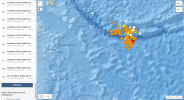
Here is a screenshot for the last 30 days and focusing on the start:
Loyalty Islands 30 days to 11th of Feb 2021.gif

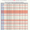
I thought to look at what happened in Spaceweather around the 20th and found saw that 3 NEO came closer than 1 Lunar distance, LD, to earth on the 18th. I am not saying there is any connection to the start of the foreshocks, but just thought to take notice of it and record it. Here is the screenshot from Spaceweather.com from the 22nd of January:

Spaceweather archive from January 22nd 2021.gif
 
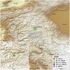
Reports of an M5.7 M6.1 in Tajikistan (corrected following review by seismologist). USGS have it as an M5.9.

Comments of those who felt it: "Shaking lasted more than 30 seconds", "It was in 2 parts. First was very fast rumbling sound. After it the second wave came with more power. Everyone was out from home.":
MagnitudeMw 5.7
RegionTAJIKISTAN
Date time2021-02-12 17:01:34.0 UTC
Location38.17 N ; 73.70 E
Depth80 km
Distances246 km SW of Kashgar, China / pop: 274,000 / local time: 23:01:34.0 2021-02-12
23 km W of Murghob, Tajikistan / pop: 10,800 / local time: 22:01:34.0 2021-02-12
Global view
Source parameters not yet reviewed by a seismologist


More information at:

1613150240073.pngUSGS/NEIC Denver, USA
1613150240099.pngGeoForschungsZentrum (GFZ) Potsdam, Germany
1613150240128.pngGeophysical Survey. Russian Academy of Sciences Obninsk, Russia

1613150191342.png
 
Last edited:
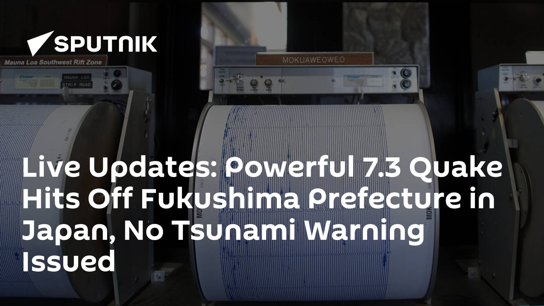
Regarding the above quake in Japan, i thought this tweet was interesting, considering the anniversary quake in Mexico; it says that Japan's MET agency said that the quake was an aftershock of the quake from 2011 - that caused the tsunami and damaged the Fukushima power plant - and Japan Times reports that today's quake was actually in the coastal region of Hamadori, which is where Fukushima is.

The Tweet says we're less than a month away from the 10th anniversary. And that seems to be accurate because it seems the deadly quake was on 11th March, followed by another quake 7th April that didn't cause as much damage. I think - i read through all that pretty quickly but i thought i'd post all the same.


Regarding the above quake in Japan, i thought this tweet was interesting, considering the anniversary quake in Mexico; it says that Japan's MET agency said that the quake was an aftershock of the quake from 2011 - that caused the tsunami and damaged the Fukushima power plant - and Japan Times reports that today's quake was actually in the Hamadori region, which is where Fukushima is.
Interesting that it is in the same area, which seems to be prone to big earthquake. Apart from the 7.9 on the 11th of March 2011, there was also a 7.3 on the 21st of November 2016, in the very same area as todays earthquake. One wonders how long after an earthquake they can say that a quake is an aftershock but there are some mathematical models according to wikipedia:

Aftershock size and frequency with time[edit]​

Aftershocks rates and magnitudes follow several well-established empirical laws.

Omori's law [edit]​

The frequency of aftershocks decreases roughly with the reciprocal of time after the main shock. This empirical relation was first described by Fusakichi Omori in 1894 and is known as Omori's law.[1] It is expressed as

{\displaystyle n(t)={\frac {k}{(c+t)}}}

where k and c are constants, which vary between earthquake sequences. A modified version of Omori's law, now commonly used, was proposed by Utsu in 1961.[2][3]

{\displaystyle n(t)={\frac {k}{(c+t)^{p}}}}
n(t) = \frac {k} {(c+t)^p}

where p is a third constant which modifies the decay rate and typically falls in the range 0.7–1.5.

According to these equations, the rate of aftershocks decreases quickly with time. The rate of aftershocks is proportional to the inverse of time since the mainshock and this relationship can be used to estimate the probability of future aftershock occurrence.[4] Thus whatever the probability of an aftershock are on the first day, the second day will have 1/2 the probability of the first day and the tenth day will have approximately 1/10 the probability of the first day (when p is equal to 1). These patterns describe only the statistical behavior of aftershocks; the actual times, numbers and locations of the aftershocks are stochastic, while tending to follow these patterns. As this is an empirical law, values of the parameters are obtained by fitting to data after a mainshock has occurred, and they imply no specific physical mechanism in any given case.

The Utsu-Omori law has also been obtained theoretically, as the solution of a differential equation describing the evolution of the aftershock activity,[5] where the interpretation of the evolution equation is based on the idea of deactivation of the faults in the vicinity of the main shock of the earthquake. Also, previously Utsu-Omori law was obtained from a nucleation process.[6] Results show that the spatial and temporal distribution of aftershocks is separable into a dependence on space and a dependence on time. And more recently, through the application of a fractional solution of the reactive differential equation,[7] a double power law model shows the number density decay in several possible ways, among which is a particular case the Utsu-Omori Law.
There are more laws after earthquake aftershocks so I guess this could be what they are using to call it an aftershock to the earthquake in 2011.

One wonders too if this earthquake is related to the M7.7 just 3 days ago, also on the ring of fire and if it will trigger other big earthquakes around the ring of fire. If that is the case, and it is a big IF, then it could bode ill for the West coast of the US.
 

Strong earthquake: M6 quake has struck near Kandrian in Papua New Guinea

February 13, 2021
A earthquake magnitude 6 (ml/mb) has occurred on Saturday, 121 km S of Kandrian, Papua New Guinea (75 miles). Id of earthquake: us6000dhfg. Event ids that are associated: us6000dhfg. Exact location of event, depth 51.75 km, 149.3972° East, -7.2933° South. A tsunami warning has not been issued (Does not indicate if a tsunami actually did or will exist). The temblor was picked up at 15:33:57 / 3:33 pm (local time epicenter). The epicenter of the earthquake was roughly 51.75 km (32 miles) below the earth’s surface. Exact time and date of event in UTC/GMT: 13/02/21 / 2021-02-13 15:33:57 / February 13, 2021 @ 3:33 pm.

Earthquakes 6.0 to 6.9 may cause a lot of damage in very populated areas. In the past 24 hours, there have been one, in the last 10 days one, in the past 30 days one and in the last 365 days six earthquakes of magnitude 3.0 or greater that was reported nearby. Each year there are an estimated 135 earthquakes in the world.
 
Last week saw 3 M6 with the highest being a M6.7 outside of the Chilean coast.
In the usual map area, there was 1 out of 79 earthquakes equal to or greater than 4.5 and 1629 out of 2033 quakes of all sizes.
Percentage: 80.1%
Last saw quite an uptick worldwide of bigger quakes. There were 2 M7 (M7.7 in Loyalty Islands and a M7.1 in Japan) and 8 M6.
In the usual map area, it was quiet with just 1 out of 182 earthquakes worldwide equal to or greater than 4.5 and 1792 out of 2313 quakes of all sizes.
Percentage: 77.5%
Earthquakes 7 days to Feb 14th  2021.gif

The fact that earthquake activity in the map area is dropping is not necessarily a good thing in a week which saw 2 M7 in the eastern and south-eastern part of the Ring of Fire. The release of tension in those parts might just trigger it in other parts too. It probably is just a question of time.
 
Last edited:
Regarding the above quake in Japan, i thought this tweet was interesting, considering the anniversary quake in Mexico; it says that Japan's MET agency said that the quake was an aftershock of the quake from 2011 - that caused the tsunami and damaged the Fukushima power plant - and Japan Times reports that today's quake was actually in the coastal region of Hamadori, which is where Fukushima is.

The Tweet says we're less than a month away from the 10th anniversary. And that seems to be accurate because it seems the deadly quake was on 11th March, followed by another quake 7th April that didn't cause as much damage. I think - i read through all that pretty quickly but i thought i'd post all the same.


2 days before... hm
 
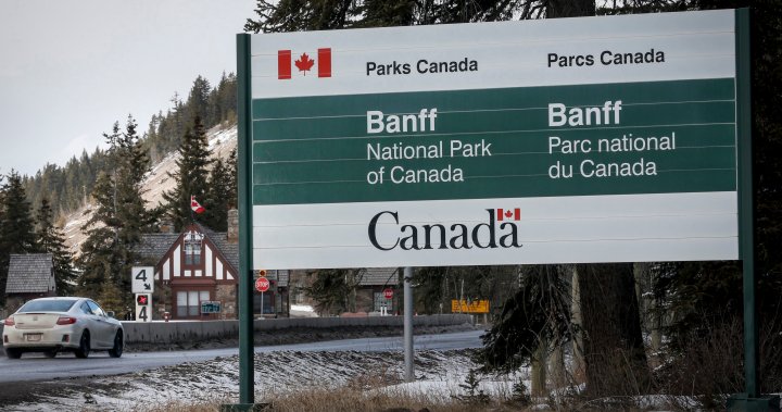
February 13, 2021, 6:33 pm, 3.8 mag. earthquake in Banff, Alberta Canada. We don't hear about a lot of earthquakes coming out of the Rockies, so when one does it's pretty big news. Apparently they are not uncommon but they're so small you don't even notice them. For almost 3 years, I used to live in Jasper, Alberta, a town 289 km north of Banff. I never felt one and I don't remember anyone living there ever mentioning one. This earthquake was a bit bigger with the epicentre just about 6 km north of the town at a depth of around 17.3 km. It looks like it was directly under a mountain named the Cascade Mountain. A large boom was heard after the rumbling started. No reported damages or injuries.

Only a few earthquakes — all smaller than this one — have been reported in the area in the last 10 years. The largest, with a magnitude of 6.0, dates back to 1918.

Mulder said while earthquakes in the Rocky Mountains are not unusual, this one was larger than most.


Back
Top Bottom