angelburst29
The Living Force
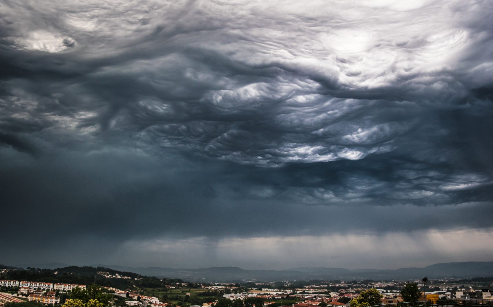
Weather radar picks up mysterious shadow across three states ‘caused by huge dragonfly swarm’

Sunday Sept. 22, 2019 - An enormous mystery cloud has baffled US meteorologists this week who spotted the shape stretching over parts of Indiana, Ohio and Pennsylvania, but saw no rainfall.
The National Weather Service spotted the “conundrum”, and suggested it could be a swarm of “bugs”, however the altitude was so high, they were initially sceptical such a massive number of creatures could be flying so high.
NWS Wakefield said on Twitter: “No rain around the region with decent returns on radar. Usually we’d think we’re seeing bugs. Dual polarization radar products argue otherwise and some of these returns are above 10,000ft”.
The service added: “Migrating dragonflies is a possibility...they migrate in fall, usually prior to cooler weather arriving, and towards areas where more precipitation has fallen recently. That said, not sure DFs can fly that high or if they move in numbers great enough to produce these returns”
Another National Weather Service station in Cleveland also picked up the huge cloud and asked users on Twitter to guess what was causing it.
They later tweeted: “While we are not biological experts, we have determined (through input from our followers) that it’s most likely dragonflies mixed with other insects/birds!”
People on Twitter confirmed huge numbers of dragonflies were spotted in the region.
“I had so many in my yard. Felt like King Kong with all the planes around him,” wrote George Cheripko in reply to the NWS tweets.
“Definitely dragon flies,” said another person. “We have thousands flying around our yard and the field next to our yard.”
")
Jason Dickhart added: “I saw a million dragonflies in my yard yesterday. Squirrels were going nuts.”
The species is reportedly the common green darner – named due to their resemblance to a darning needle. They fly south at the end of the summer, following their prey – mosquitoes and flies – to warmer climates in the southern states and central American countries.
Dragonflies were among the first winged creatures to evolve. Some enormous species emerged during the Paleozoic era, when oxygen levels were higher, with fossils recording individuals with wingspans of over two feet.
Modern dragonflies have wingspans of 2 – 5 inches, but despite their small size have previously been tracked by scientists with some individuals flying over 100 miles in a single day.
Sunday Sept. 22, 2019 - An enormous mystery cloud has baffled US meteorologists this week who spotted the shape stretching over parts of Indiana, Ohio and Pennsylvania, but saw no rainfall.
The National Weather Service spotted the “conundrum”, and suggested it could be a swarm of “bugs”, however the altitude was so high, they were initially sceptical such a massive number of creatures could be flying so high.
NWS Wakefield said on Twitter: “No rain around the region with decent returns on radar. Usually we’d think we’re seeing bugs. Dual polarization radar products argue otherwise and some of these returns are above 10,000ft”.
The service added: “Migrating dragonflies is a possibility...they migrate in fall, usually prior to cooler weather arriving, and towards areas where more precipitation has fallen recently. That said, not sure DFs can fly that high or if they move in numbers great enough to produce these returns”
Another National Weather Service station in Cleveland also picked up the huge cloud and asked users on Twitter to guess what was causing it.
They later tweeted: “While we are not biological experts, we have determined (through input from our followers) that it’s most likely dragonflies mixed with other insects/birds!”
People on Twitter confirmed huge numbers of dragonflies were spotted in the region.
“I had so many in my yard. Felt like King Kong with all the planes around him,” wrote George Cheripko in reply to the NWS tweets.
“Definitely dragon flies,” said another person. “We have thousands flying around our yard and the field next to our yard.”
Jason Dickhart added: “I saw a million dragonflies in my yard yesterday. Squirrels were going nuts.”
The species is reportedly the common green darner – named due to their resemblance to a darning needle. They fly south at the end of the summer, following their prey – mosquitoes and flies – to warmer climates in the southern states and central American countries.
Dragonflies were among the first winged creatures to evolve. Some enormous species emerged during the Paleozoic era, when oxygen levels were higher, with fossils recording individuals with wingspans of over two feet.
Modern dragonflies have wingspans of 2 – 5 inches, but despite their small size have previously been tracked by scientists with some individuals flying over 100 miles in a single day.