You are using an out of date browser. It may not display this or other websites correctly.
You should upgrade or use an alternative browser.
You should upgrade or use an alternative browser.
What's the weather where you are?
- Thread starter Maia
- Start date
Cassandane
Padawan Learner
And meanwhile, further west on the 49th parallel, it got up to a sweltering 97 degrees Fahrenheit according to my home weather station today. Whew! I don't remember when I last had sunburn before Mothers' Day!
Pittsburgh made the news with record lows. Yesterday, at my area, it was 65F and last night plunged to 28F. It's snowing right now.
Yeap, NJ woke up this morning to frozen puddles on the street... and it's May, we're a few weeks away from Memorial Day which is when Summer "officially" starts and it should be warm, really warm. I haven't stopped wearing my winter jacket this season.
@Alejo Check this out...found it today....Reality presented itself today to me with humor


 cassiopaea.org
Corona craziness
Pittsburgh made the news with record lows. Yesterday, at my area, it was 65F and last night plunged to 28F. It's snowing right now.
cassiopaea.org
Reading about Florida (drought conditions - and parts of Texas) a "Mother's Day storm may bring a month's worth of rain to one corner of the US" - it says 2 - 4 inches in some parts. Not sure if it is accurate, however the map enclosed shows snow (closer to me) in some north 49th latitude locations at the same time.
The southern half of the Florida Peninsula will get hit hard with heavy rainfall on Mother's Day, with some areas likely to pick up a month's worth of rain in 24 hours.
Drought conditions have been expanding across Florida since the beginning of the year, with 78% of the state currently experiencing abnormal dryness to severe drought, compared to just 24% on Jan. 1, according to the United States Drought Monitor.
The dry ground, combined with gusty winds on Wednesday, caused several fires to flare up across the Florida Panhandle, prompting thousands to evacuate.
As a cold front swings through early Saturday, some rain should help with firefighting efforts in this area.
This cold front, or dividing line between warm and cool air, was the focal point for an area of low pressure to develop in the Gulf of Mexico which will eventually spread heavy rain into the southern part of the Florida Peninsula late in the weekend.
The storm will continue to bring needed rain to South Texas, where severe to extreme drought is ongoing, into Saturday.
AccuWeather meteorologists will be closely monitoring the storm as it travels across the southern Gulf of Mexico this weekend, as some early-season tropical systems have formed along fronts draped over the warm Gulf waters in the past.
"This storm will more than likely be subtropical in nature as it moves across the Florida Peninsula Sunday into Monday," AccuWeather Lead Long-Range Meteorologist Paul Pastelok said. A subtropical storm exhibits both tropical and non-tropical features.
Regardless of tropical development, a swath of drenching rain will spread through South Florida on Sunday and Sunday night.
"People accustomed to spending time outdoors on Mother's Day over the Florida Peninsula may want to consider alternative plans or perhaps celebrate outdoor activities on Saturday instead as Sunday could be stormy and quite cool and wet," AccuWeather Senior Meteorologist Alex Sosnowski said.
Residents from Fort Myers to Port St. Lucie, West Palm Beach and Miami are likely to have any outdoor Mother's Day plans altered.
"Rainfall will be heavy enough to erase about one-third of the precipitation deficit in South Florida," Pastelok said.
Rainfall over South Florida and the Keys could be excessive with a general 2-4 inches and perhaps an AccuWeather Local StormMax™ of 6 inches. Fort Myers typically receives 2.65 inches of rain during May, while Key West averages 3 inches and Miami averages 5.34 inches.
"Rainfall of this magnitude in a 24-hour period can lead to significant urban flooding, just like that of a tropical storm," Sosnowski said.
Motorists on stretches of interstates 75 and 95 across South Florida will want to use caution as pooling of water on the roadways will heighten the risk of hydroplaning while traveling at highway speeds. Secondary roadways that are completely covered with water should be avoided.
The heaviest rain may stay just south of Orlando, with only stray showers expected north of the city up to around Jacksonville. The western half of the Florida Panhandle where wildfires are burning will likely stay dry through the weekend.
Even after the storm has departed by early next week, lingering tropical moisture is likely to bring rounds of downpours to South Florida and the Keys into the middle of the month.

artofdream
Jedi
Hi all,
Norway/Oslo
After a sunny week and a kickstart of the cleaning of roads (to prepare for summer), it started to snow again this morning.
It seems the weather did not get the global warming notice...
it is of notice in Oslo that close to May 17th, Norwegian National Day. By now, most people would have usually shifted to summer tires.
Pretty unusual, happened 2 or 3 times since 2005 and the nights felt unusually cold the last month

artofdream
Jedi
This morning in Trondheim and back to winter feel. View attachment 36218
Nice, by the bridge on the way to the Rosenborg Stadium?
In the Netherlands we had 3 nights with frost in a row and tonight it may even become colder, up to minus 4 degrees Celsius. Last Tuesday, the night of the 12th of May broke record-low temperatures, even though people are saying we are still in the days of Ice Saints, so it's supposed to be fairly normal...
Meanwhile, there were small wildfires in the south last month and the wildfire in de Peel (the Brabant province) was the biggest ever and I read somewhere a few days ago that they still hadn't been completely extinguished.
Meanwhile, there were small wildfires in the south last month and the wildfire in de Peel (the Brabant province) was the biggest ever and I read somewhere a few days ago that they still hadn't been completely extinguished.
Here in Portugal again a yellow weather warning, forecast of rain, hail and thunderstorm, when it rains it is like a tropical downpour. Even possible snowfall forecast for the highest regions of Serra da Estrela. Good for the reservoirs though as they need all the water they can get.
 www.theportugalnews.com
Yellow weather warning for Portugal
Six more southern districts of mainland Portugal are now under yellow warning due to the forecast of rain, hail and thunderstorm, according to the Portuguese Institute of the Sea and the Atmosphere (IPMA).
www.theportugalnews.com
Very unusual weather in Macedonia. Temperatures are high. Around 25-28C during the day. Very strong winds, and also a lot of Sahara dust in the atmosphere. The sky is gray-yellowish and a large amount. od fine sand in the atmosphere can be seen if you look further in the distance.
It is nice to stand in the shadow, but under a direct sum and this how and strong wind full of sand it is almost impossible to stay more than a few minutes.
All in all, very heavy weather that makes some unpleasant feelings.
It is nice to stand in the shadow, but under a direct sum and this how and strong wind full of sand it is almost impossible to stay more than a few minutes.
All in all, very heavy weather that makes some unpleasant feelings.
And from there, and temperatures of 30-32C in the last few days today we are at 13C and a cold wind. Heavy autumn-like clouds, with a cold breeze and occasional raining. The forecast is that we will have a storm in the next 24 hours, but we will see. There were a lot of storms in the Balkan countries last 2 days, with a lot of rain and huge hail.Very unusual weather in Macedonia. Temperatures are high. Around 25-28C during the day. Very strong winds, and also a lot of Sahara dust in the atmosphere. The sky is gray-yellowish and a large amount. od fine sand in the atmosphere can be seen if you look further in the distance.
It is nice to stand in the shadow, but under a direct sum and this how and strong wind full of sand it is almost impossible to stay more than a few minutes.
All in all, very heavy weather that makes some unpleasant feelings.
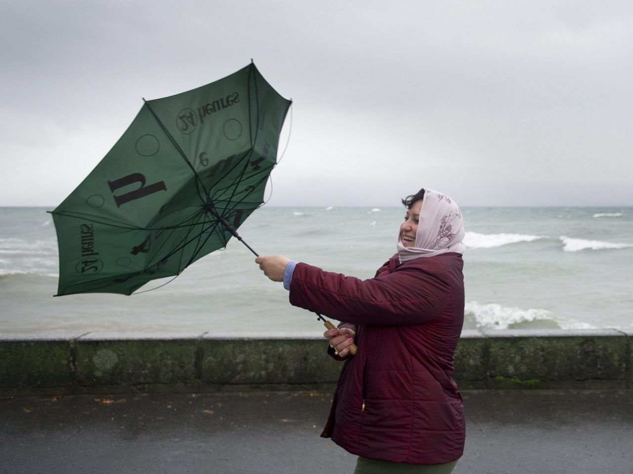
Since Thursday night we have been experiencing almost gale force winds! Weather warnings were put out in the UK warning of 60-75mph winds. This came after super-hot temperatures at the beginning of the week.
The warning reads: "A spell of unseasonably strong south-westerly winds will affect parts of north-west Scotland, particularly the Western Isles later today, easing during the early hours of Saturday.
"Gusts of 60-65 mph are expected, with the possibility of a few gusts of 70-75 mph in exposed parts of Barra, North and South Uist."
Today, temperatures will drop into the teens before stormy conditions batter eastern areas, according to BBC weather forecaster Helen Willetts.
The weather, which is "unusual for the time of year", will see rain tear eastwards "quite quickly" today, more noticeable in the north.
Palinurus
The Living Force
The Netherlands is enjoying the sunniest springtime ever with so far 713.4 hours of sunshine, already 6 min. more than the standing record from 2011. With five more days to go, which also will be sun-drenched according to forecasts, we're envisaging a new record of probably 780 hours of sunshine for the whole March 1 - May 31 period. There's also a severe drought looming earlier than ever before.
Sources:
This spring is the sunniest on record, and there is more sunshine to come - DutchNews.nl
Record set for sunniest spring ever; 300 more hours of sunshine than normal
Sources:
This spring is the sunniest on record, and there is more sunshine to come - DutchNews.nl
Record set for sunniest spring ever; 300 more hours of sunshine than normal
Morning temperature of 7C, cold breeze, and heavy clouds. It is like late autumn. There is fresh snow on the mountain peaks since yesterday. Very cold weather for this part of the year.