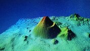
The submarine volcano Enmedio belongs to the Canary archipelago and lies between the islands of Tenerife and Gran Canaria. Here the Atlantic Ocean is 2100 metres deep and forms the Anaga-Agaete channel between the islands. The base of Enmedio measures almost 3 km in diameter and is described in the literature as being particularly large. It is said to cover the area of 539 football fields. That would be 418 hectares or 4.18 square kilometres. Compared to Etna's base area of 1750 square kilometres, this is admittedly small.
Exploration of the Enmedio volcano is difficult and in its infancy. What is known is that it has a steep topography and that the summit of the submarine volcano is at a depth of 1630 metres. The volcano building is 470 m high. The distance to Tenerife is 25.47 km. The distance to Gran Canaria is 36.2 km. 500 m southwest of Enmedio are 2 volcanic cones lower than 100 m.
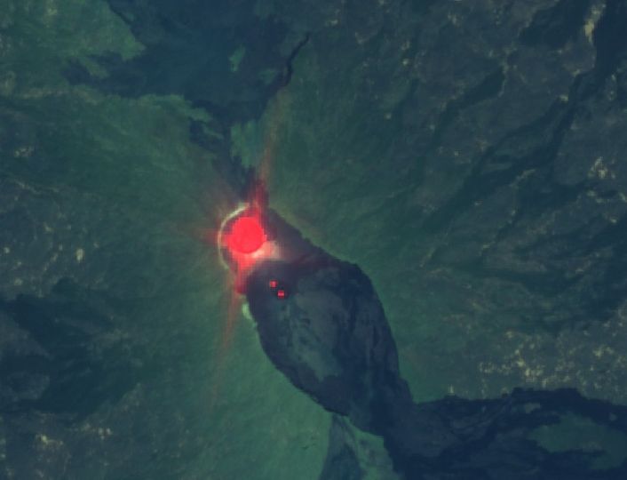
SEISMIC ACTIVITY AT ENMEDIO
It is unknown when the submarine volcano last erupted. What is known is that there are repeated swarm earthquakes, which are probably related to the volcano's hydrothermal system. However, there are also strong individual earthquakes, such as the one in 1989, which had a magnitude of 5.0 and was felt on Tenerife and Gran Canaria. On 19 March 2022, an earthquake of magnitude 3.2 manifested itself, followed by numerous aftershocks. Some of the earthquakes may also be associated with a 35 km fault zone that runs in the vicinity of the volcano.
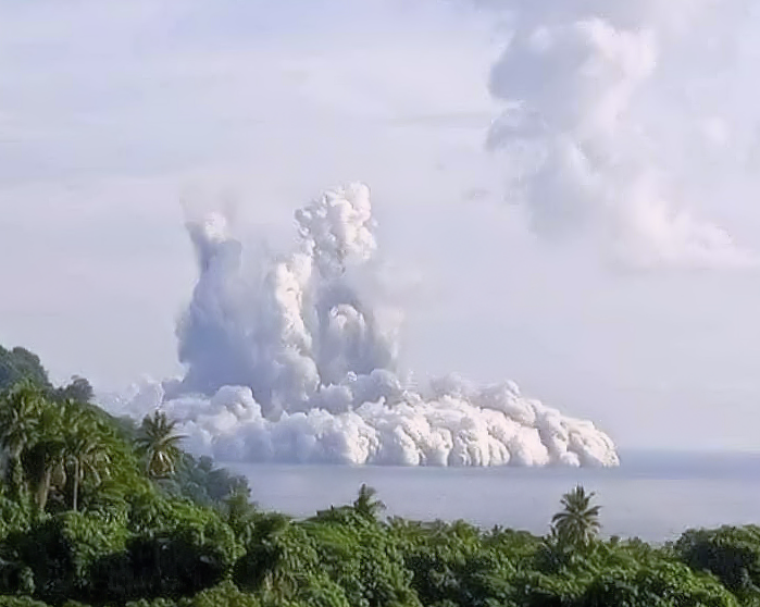
EFFECTS OF A SUBMARINE ERUPTION
Although the volcano otherwise shows no signs of awakening, the earthquakes could be interpreted as such. Due to the depth of the Atlantic Ocean, it is practically impossible to feel the pulse of the volcano and determine other geophysical parameters. A volcanic eruption would hardly have any effect on the water surface. Water discolouration and turbulence are to be feared. There could be fish mortality due to increased water temperatures and gas/fluid input. It is known from other underwater volcanoes that they can also eject large quantities of pumice, which then floats on the water surface and forms pumice stone carpets. These endanger shipping, which would be particularly problematic for ferry traffic between the Canary Islands.
 From Matías Tlalancaleca-Puebla
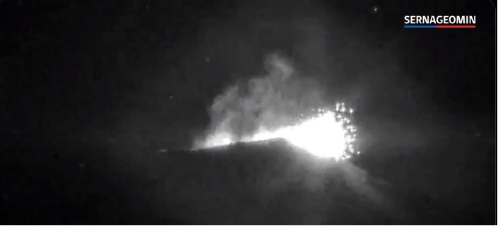


 _ Twitter.png")


 _ Twitter.png")
